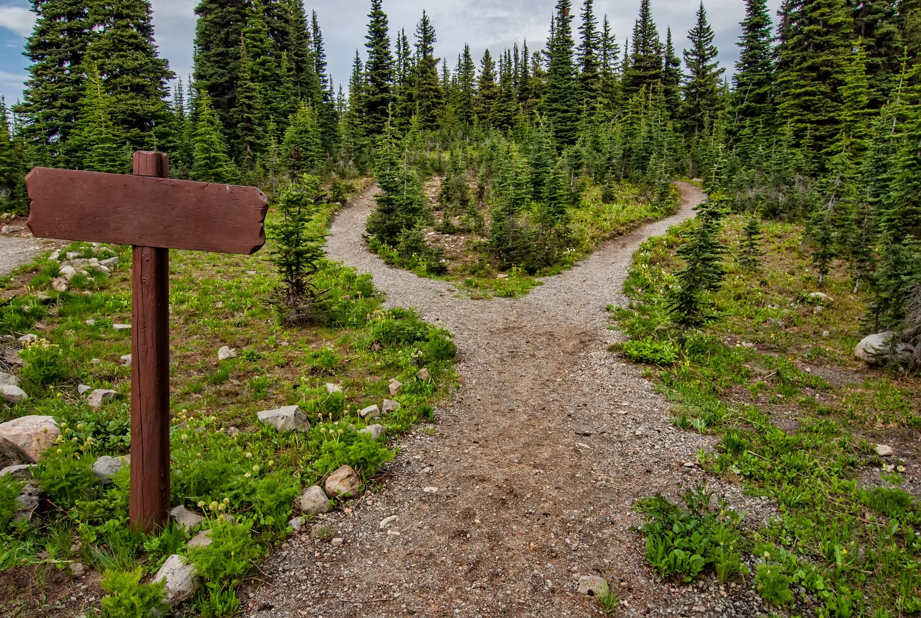
How to Pick the Right Hiking Trail for You
Exploring the vast wilderness of the Big South Fork is one of the main activities available at Laurel Fork Rustic Retreat. With over 150 miles of hiking trails within the Big South Fork, there is a wide range of options to explore!
Whether you are looking for an epic challenge or just want to stroll through the forest, there is a trail for everyone at the Big South Fork!
Learn how to pick the right hiking trail for you with these tips:
Understand the Rating System
Hiking trails are rated on a scale to help hikers understand the difficulty of the trail. The rating system divides trails into different categories: easy, moderate, and difficult. Some trails have a combination rating when the path includes more than one difficulty level.
Trails rated easy are great for new hikers and those with limited mobility. Moderate trails are an excellent choice for anyone who is reasonably active and wants to experience some hills and elevation changes. Difficult trails are much more challenging to the average hiker and even some seasoned hikers.
Check the Distance
Hikes can range in distance from under a mile in length to many miles long. Knowing the distance of a trail, as well as the trail rating, will give you a good estimate on how long the trail should take to complete.
Popular day hikes in the Big South Fork are between 1-7 miles long with the average being around 3 miles. Most hikers can cover 3 miles per hour on a flat trail making a 6-mile hike about 2 hours long. Factor in 1) distance, 2) elevation and 3) unique features to estimate total time out on the trail.
Know the Course
There are two main types of trails: out and back or loop. Out and back trails are single trails that don’t loop around. There will be a point in the path where you have to turn back and retrace your steps to get to the starting point.
Loop trails connect in a large round shape meaning that you will eventually get back to your starting point without having to turn around. Knowing the course of the trail is essential when deciding which hike to try.
Read the Trail Map Description
Trail maps often have a description of the trail. This may include natural land formations and other highlights. Unique spots in the path that could cause issues for some hikers, like swinging bridges or places where you have to wade through water, are also found in the description. Elevation changes are also noted and can be helpful in choosing the right hike for you.
Picking the right trail for you is an essential part of enjoying your time outdoors! Follow these tips when choosing a hike in the Big South Fork National River & Recreation Area.


The activity quietly thriving at Big South Fork.